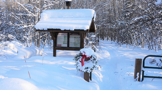
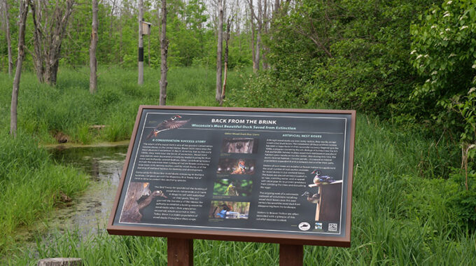
Wildlife employ a variety of strategies for surviving winter's snow and cold. If you know where to look, you'll discover that Beaver Hollow remains full of fascinating wildlife, even in the coldest months. Look carefully and you may spot a cavity, den, or lodge of a Beaver Hollow winter resident.
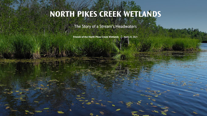
The Friends tell the Story of the North Pikes Creek Headwaters with an ArcGIS Story Map
| The headwaters’ region of North Pikes Creek is an expansive area comprised of marshes, ponds, shrub thickets, and wetland forests teeming with wildlife, including 32 rare, threatened, and endangered species of birds and mammals. The wild and wet nature of the habitat makes it extremely difficult to explore on foot. To help you see and experience the North Pikes Creek wetlands in its totality, the Friends have developed a beautiful ArcGIS Story Map in cooperation with talented members, Melanie Bomier, an ArcGIS Story Map developer, and Will Bomier, the drone pilot who provided revealing aerial photos of the wetlands.
This project would not have been possible without funding, in part, from the Biodiversity Fund of the Duluth Superior Area Community Foundation. This award also funded the development of a long-range, science-based management plan for the Friends’ North Pikes Creek holdings that will guide the stewardship of the property in perpetuity. Click this link https://arcg.is/1D5GGj to view amazing photos, and to read the story of North Pikes Creek’s headwaters. |
Related Posts